Mapping the risk of Q fever in Kenya
- From
-
Published on
26.03.25
- Challenges
A new risk map of Q fever in Kenya will provide vital information to help improve surveillance and control of the zoonotic disease, according to a recent study published in Scientific Reports.
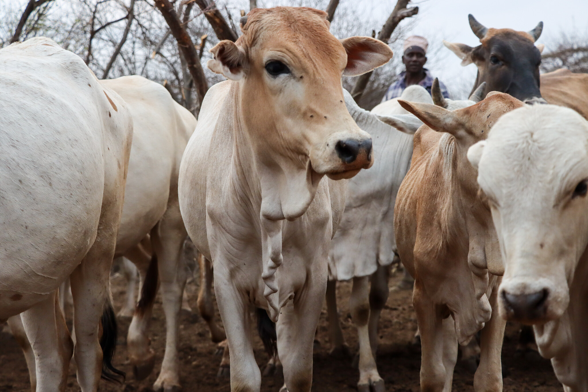
Scientists from the International Livestock Research Institute (ILRI) led the study which analyzed serum samples from 6,593 cattle across different ago-ecological zones in Kenya.
About 8% of the samples tested positive for Coxiella burnetii, the organism that causes Q fever.
The study found that factors like the age of the animal, herd size, wind speed, soil type, and shrub density may influence the risk of the disease.
This evidence can be used to design nature-based interventions, such as replacement of vegetation in denuded areas, to reduce potential for the spread of the pathogen.
In addition, livestock vaccination in the hotspots would also reduce animal infections and environmental contamination.
Citation
Wambua, L., Bett, B., Abkallo, H.M., Muturi, M., Nthiwa, D., Nyamota, R., Kiprono, E., Kirwa, L., Gakuya, F., Bartlow, A.W., Middlebrook, E.A., Fair, J., Njenga, K., Gachohi, J., Mwatondo, A. and Akoko, J.M. 2025. National serosurvey and risk mapping reveal widespread distribution of Coxiella burnetii in Kenya. Scientific Reports 15: 9706.
Photo: Cattle in Isiolo County, Kenya (ILRI/Geoffrey Njenga)