- From
-
Published on
23.03.20
- Impact Area

A satellite imagery platform called Digital Earth Africa has previously focussed on land resources such as forests. But it will now aggregate data from remote-sensing technologies, which will allow scientists at the International Water Management Institute (IWMI) to develop applications for detailed analysis on continent-wide water levels and supplies.
Crucially, this information will be held in the Open Data Cube, an open-source resource for earth observation data, which will give unprecedented levels of access to information on the situation across Africa.
Related news
-
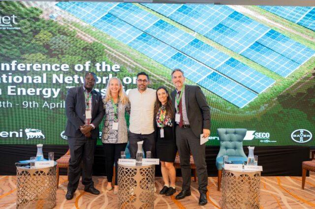
Justice in Transition: CGIAR Climate Security Launches Climate Justice Research at INAET 2025
15.04.25-
Climate adaptation & mitigation
From energy geopolitics to climate equity, this year’s International Network on African Energy Tra…
Read more -
-

ASEAN-CGIAR Program charts future course, emphasizing scalability and sustainability
15.04.25-
Adaptation
-
Climate adaptation & mitigation
-
Environmental health & biodiversity
-
Food security
-
Mitigation
-
Nutrition
-
Nutrition, health & food security
Bangkok, Thailand - The ASEAN-CGIAR Innovate for Food and Nutrition Security Regional Program recent…
Read more -
-
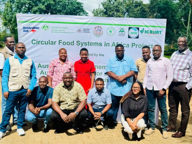
Building Capacity in Crop Modeling to Advance Circular Food Systems in Southern Africa
10.04.25-
Big data
-
Climate adaptation & mitigation
Training Equips Researchers to Support Smallholder Farmers with Climate-Smart, Sustainable Agricultu…
Read more -