- From
-
Published on
20.12.21
- Impact Area
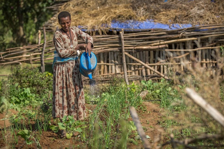
Remote sensing data enables IWMI researchers to identify irrigated areas at a resolution of 30 meters, providing valuable insights for water policy and agricultural planning.
The post Researchers map Ethiopia’s irrigated areas at a previously unavailable resolution first appeared on International Water Management Institute (IWMI).
Related news
-

Unveiling a new vision for animal breeding in Africa
16.04.25-
Food security
The African Animal Breeding Network (AABNet), a new platform for animal breeding professionals to ad…
Read more -
-

Fostering collaboration and knowledge sharing in digital agriculture
16.04.25-
Food security
Stronger institutional partnerships and knowledge co-creation will accelerate the digital agricultur…
Read more -
-

How Bangladesh Saved Its Most Iconic Fish
16.04.25-
Environmental health & biodiversity
-
Food security
Hilsa is everywhere in Bangladesh. It’s on dinner tables, in markets, in poetry, in history,…
Read more -