- From
-
Published on
17.03.23
- Impact Area
The Alliance of Bioversity and CIAT joined regional organizations in the MAPBIOMAS network to map and monitor surface water in Guyana, French Guyana and Suriname. Data will help inform public policies on land and water use.
The Amazon Basin is one of the world’s largest river systems, responsible for over 15% of the fresh water entering the oceans. The rivers and lakes of the Amazon are essential to agriculture, to the livelihoods of the peoples of the forest, conservation of biodiversity and climate change. However, changes in land use, overuse of water resources and other human activities have altered water quality and availability in the region.
Proper decision making on this scale requires continuously and historically assessing changes in water surface dynamics. To provide this kind of detailed and consistent data and information, a consortium of NGOs created the Mapbiomas Water platform in Brazil. Now the monitoring is being expanded to the whole of the Amazon under the Amazonian Network of Georeferenced Socio-Environmental Information (RAISG).
“The Alliance of Bioversity and CIAT has a tradition on monitoring in the Amazon, and the organization’s expertise can greatly contribute to this initiative. In this first phase the Alliance will be responsible for the map of the water surface and monitor its historical dynamics in Guyana, French Guyana and Suriname”, explained Bernardo Caldas, Leader of Monitoring, Evaluation and Learning, CAL-PSE Program part of the Multifunctional Landscape initiate at CIAT, who is also one of the authors of the methodology.
RAISG and the Alliance, in collaboration with MapBiomas and under the advice of IMAZON, will adopt, adapt and apply the methodology built for Brazil for mapping and monitoring surface waters in Guyana, French Guyana and Suriname. The project will initially focus on building the historical dataset from 1985-2022. The work will take place over a period of up to two years, respecting the deadlines established by RAISG. The partnership is being implemented through an agreement between the Alliance and the Instituto del Bien Común (IBC), RAISG’s member responsible for the regional water mapping initiative. The project is funded with the support of the Quadrature Climate Foundation.
Related news
-
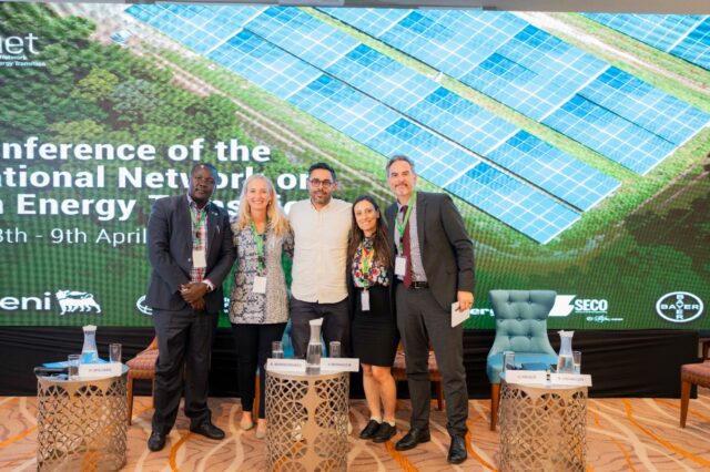
Justice in Transition: CGIAR Climate Security Launches Climate Justice Research at INAET 2025
15.04.25-
Climate adaptation & mitigation
From energy geopolitics to climate equity, this year’s International Network on African Energy Tra…
Read more -
-

ASEAN-CGIAR Program charts future course, emphasizing scalability and sustainability
15.04.25-
Adaptation
-
Climate adaptation & mitigation
-
Environmental health & biodiversity
-
Food security
-
Mitigation
-
Nutrition
-
Nutrition, health & food security
Bangkok, Thailand - The ASEAN-CGIAR Innovate for Food and Nutrition Security Regional Program recent…
Read more -
-
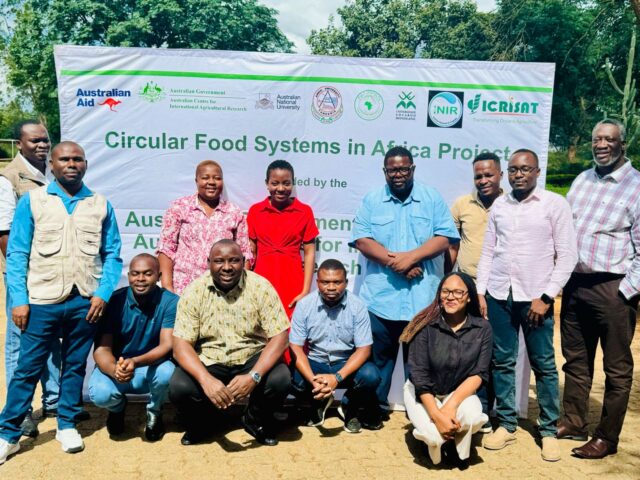
Building Capacity in Crop Modeling to Advance Circular Food Systems in Southern Africa
10.04.25-
Big data
-
Climate adaptation & mitigation
Training Equips Researchers to Support Smallholder Farmers with Climate-Smart, Sustainable Agricultu…
Read more -