-
From
CGIAR Initiative on Digital Innovation
-
Published on
26.08.24
The Limpopo River Basin supports life across four countries in southern Africa: Botswana, Mozambique, South Africa and Zimbabwe. This precious resource must be sustainably and fairly managed, but the scale of monitoring conditions across the full extension of 1750 km is daunting. Under the CGIAR Initiative on Digital Innovation, the International Water Management Institute (IWMI) has partnered with GroundTruth to investigate the potential for unmanned aerial vehicles (UAVs) to survey rivers.

Environmental flows (e-flows) assessments are used to estimate the quality, amount, and timing of the water in rivers needed for sustaining riverine ecosystems and the people that depend on them. They are used to model and predict how water will interact with the landscape to understand flood risks, track erosion and investigate what role water plays in ecosystems. The traditional method of manually mapping cross sections of a river is expensive, time-consuming and not practical to help water management bodies such as the Limpopo Watercourse Commission (LIMCOM) make timely decisions.
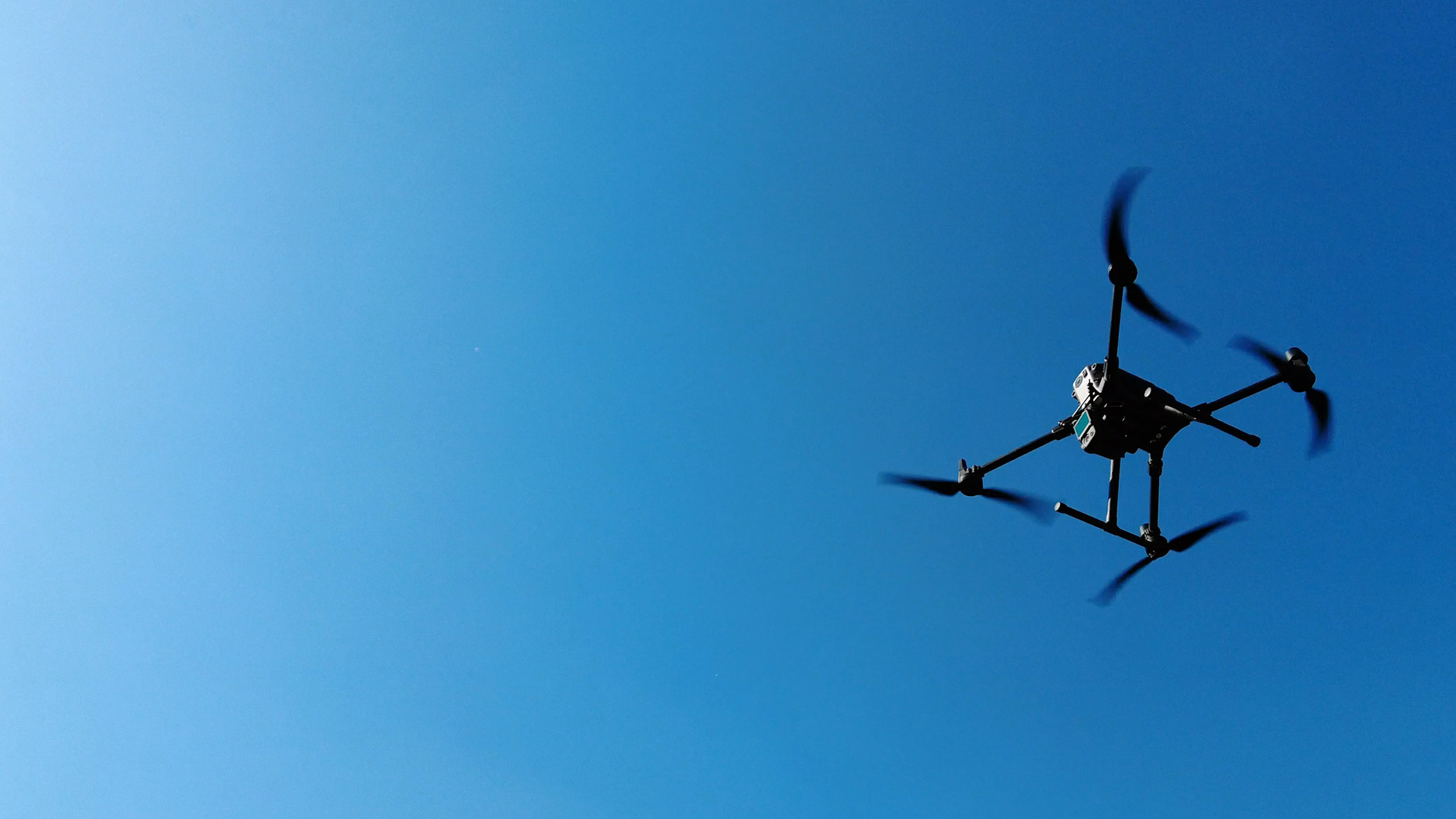
UAVs, or drones, can be fitted with light detection and ranging (LiDAR) sensors that map the surface of water bodies. With the CGIAR Initiative on Digital Innovation, GroundTruth has been investigating whether it is practical to use UAVs, in conjunction with sensors mounted to a tethered boat, to gather LiDAR and sound navigation and ranging (SoNAR) data to inform river channel, flow, and flow-habitat characteristics within the context of e-flows assessments in the Limpopo Basin.
“We are doing this to capture data on a whole stretch of river and to understand river dynamics in far more detail than was ever traditionally possible,” said hydrologist Keanu Singh of GroundTruth.
UAV-based river surveying is just one of a suite of measurement and modelling systems being connected together by the CGIAR Initiative on Digital Innovation to create a comprehensive virtual representation of the Limpopo Basin, otherwise known as a digital twin. A prototype of the system, which allows 3D visualization of several data and modelling layers to aid natural resource managers to take better decisions, was showcased at the 10th World Water Forum in Bali.
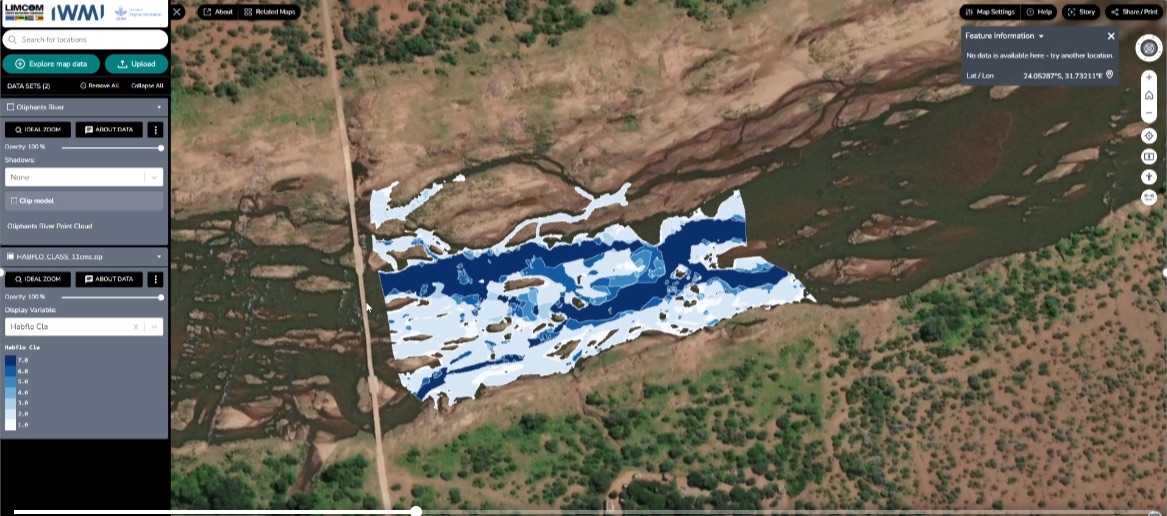
River flow data visualized in the prototype Digital Twin for the Limpopo River Basin
“These data will be invaluable for the digital twin, enhancing environmental flow calculations and decision-making,” said Mariangel Garcia, research group leader at IWMI. “By visualizing discharge values, stakeholders can see how they affect habitats in real-time. Integrated with the digital twin, the system can dynamically generate scenarios that compare ideal versus current conditions, translating data into actionable insights. This allows for proactive management with visual alerts that show the ecosystem’s health and guide timely interventions.”