-
From
CGIAR Initiative on Diversification in East and Southern Africa
-
Published on
20.12.24
- Impact Area
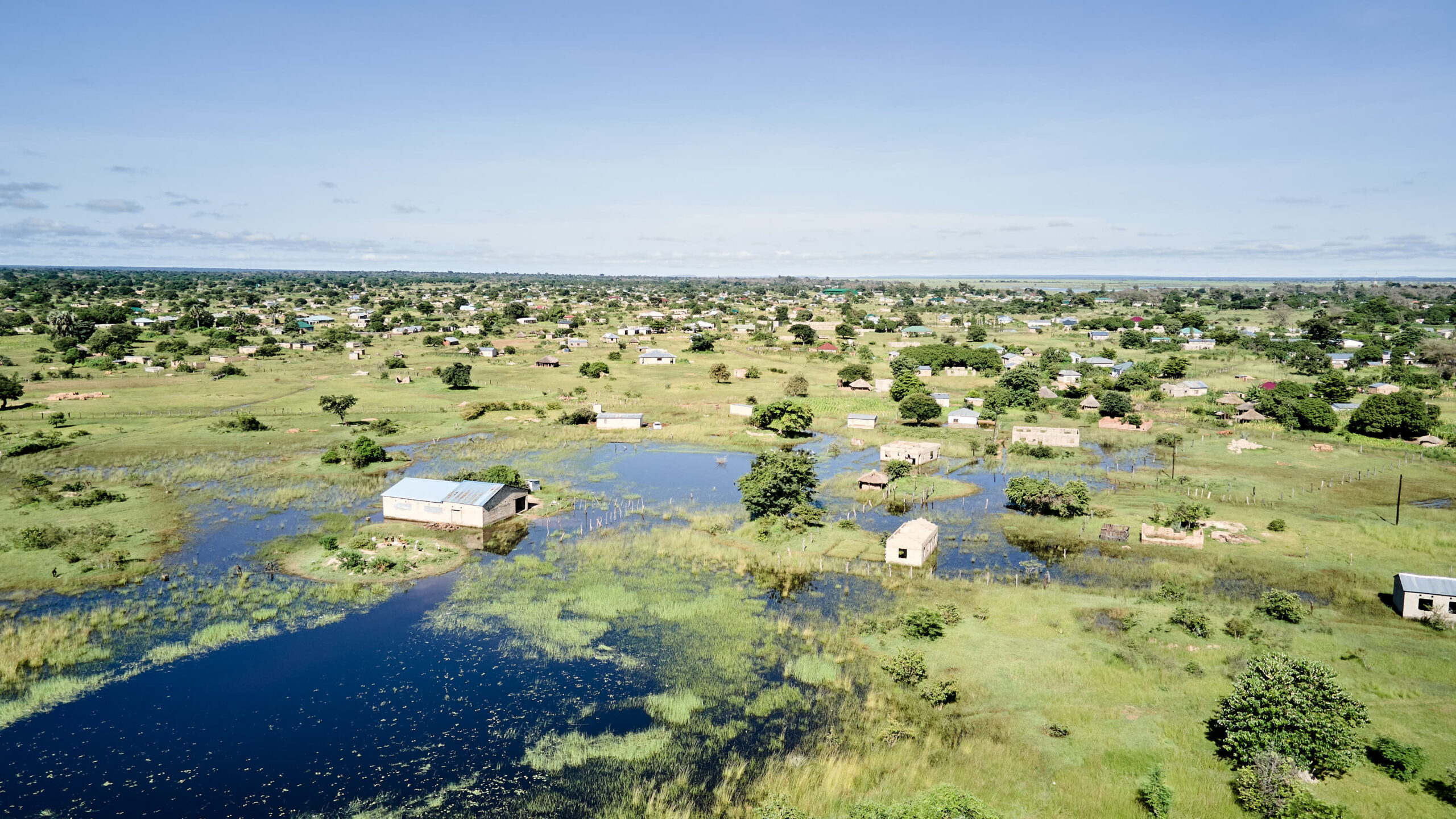
Flooding remains one of Zambia’s most persistent and damaging natural challenges, disproportionately affecting smallholder farmers in regions like the Magoye River Catchment. Since 2000, over 20 flood events have impacted approximately 3.9 million people across the country. The catastrophic floods of 2023, which inundated nine provinces and displaced over 25,768 households (equating to 154,608 people), underscore the urgent need for effective solutions. With every rainy season, these floods disrupt livelihoods, displace communities, and diminish agricultural productivity.
To tackle these challenges head-on, the International Water Management Institute (IWMI), in partnership with ACRE Africa and Zambia’s Professional Insurance Company Ltd, has implemented an innovative Index-Based Flood Insurance (IBFI) pilot. This project aims to protect smallholder farmers and vulnerable communities from the financial consequences of flood-induced disasters while fostering resilience and sustainable development.
Why Flood Insurance Matters
In the Southern Province of Zambia, especially in flood-prone areas like the Magoye River Catchment, smallholder farmers depend heavily on rain-fed agriculture. Flooding in this region leads to recurrent crop damage, infrastructure loss, and financial instability. The IBFI initiative was developed to provide timely financial compensation to affected farmers, enabling faster recovery and promoting climate resilience.
The IBFI Pilot: A Holistic Approach
For smallholder farmers in Zambia’s Southern Province, particularly those in flood-prone areas like the Magoye River Catchment, rain-fed agriculture is a lifeline. However, recurring floods jeopardize their productivity by causing massive crop damage, infrastructure loss, and financial instability. The IBFI initiative addresses these risks by providing timely financial compensation to affected farmers. This safety net not only accelerates recovery but also builds confidence, enabling farmers to reinvest in their agricultural activities and adopt climate-resilient practices.
Minimizing Basis Risk: Aligning Payouts with Real Losses
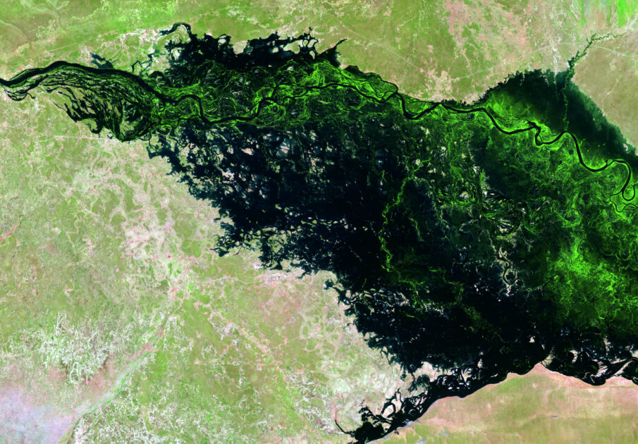
One of the primary objectives of the IBFI pilot is to reduce basis risk—the mismatch between payouts and actual losses. To achieve this, the insurance is structured around precise and data-driven triggers derived from simulated flood depths and satellite imagery. By leveraging Earth Observation (EO) data, such as those from Sentinel-1 and MODIS satellites, and advanced flood models, the product ensures that payouts are activated based on measurable flood parameters rather than subjective or delayed assessments.
This minimizes discrepancies, building trust among farmers and ensuring that financial support aligns closely with the reality on the ground. For example, farmers in regions with moderate flood levels would receive payouts proportionate to their losses, avoiding overcompensation or underfunding.
How It Works
The IBFI product uses historical flood depth data and satellite imagery to model flood risks. Key features include:
- Triggers and Thresholds: Payouts are activated when flood depths exceed pre-determined percentiles. For example, flooding at the 80th percentile triggers minor coverage (25%), while the 99th percentile activates full coverage.
- 10-Day Monitoring Blocks: River levels are monitored in intervals to align with farming cycles, ensuring timely payouts.
- Community Integration: Farmers provided critical inputs, ensuring the insurance design reflects local realities.
Flood events can vary significantly in severity, and the IBFI product is designed to address this variability through a tiered payout structure. The insurance defines four levels of flooding—minor, moderate, major, and catastrophic—each tied to specific flood depth thresholds.
- Minor Flooding (80th Percentile): Triggers a payout of 25%, providing immediate relief for manageable damages.
- Moderate Flooding (85th Percentile): Offers 50% coverage for more significant losses.
- Major Flooding (95th Percentile): Provides up to 75% coverage, helping farmers recover from severe impacts.
- Catastrophic Flooding (99th Percentile): Ensures 100% payout, offering full protection in the event of devastating floods.
This multi-tiered system is not only flexible but also ensures that farmers receive payouts proportional to the severity of the flood event, promoting financial stability without overburdening the insurance system. The coverage supports 250 households with an average amount of K1,785 per household.
Engaging Communities: Co-Designing for Local Relevance
A standout feature of the IBFI pilot is its participatory approach. Recognizing that the success of any insurance product depends on its relevance and accessibility, the pilot team engaged farmers and local stakeholders extensively throughout the design and implementation phases.
- Focus Group Discussions: Farmers from the three pilot villages—Munenga, Mwanachingwala, and Itebe—shared their experiences with floods and provided inputs on their needs and expectations.
- Workshops with Stakeholders: Collaborations with local authorities, such as the Ministry of Agriculture and the Water Resources Management Authority (WARMA), Disaster Management and Mitigation Unit (DMMU), ensured that the insurance product aligned with existing frameworks and community realities.
- Farmer Feedback: Through structured dialogues, farmers expressed a willingness to pay premiums ranging from K200 to K400, highlighting their enthusiasm and need for flood protection solutions.
This deep engagement not only ensured that the insurance product met local needs but also fostered trust and ownership among the community members.
Scaling and Future Prospects
The IBFI pilot establishes a solid foundation for scaling flood insurance solutions across Zambia and beyond. Enhancing data accuracy by improving satellite resolution and refining flood model calibration is a critical step to better predict flood impacts and reduce risk. Expanding the initiative to other flood-prone regions in Sub-Saharan Africa can broaden its reach and help protect more vulnerable communities.
Additionally, integrating IBFI with complementary products like drought index insurance can create a comprehensive climate risk management system that addresses multiple threats simultaneously. Advocacy for policy support will be crucial to embed index-based insurance into national disaster risk management strategies, fostering its adoption as a long-term resilience tool. Finally, developing sustainable business models with small and medium enterprises (SMEs) can ensure the scalability and financial sustainability of the product through the CGIAR Scaling for Impact Accelerator and Climate Action Science Program. By combining innovation, collaboration, and a strong emphasis on local needs, the IBFI pilot demonstrates the transformative potential of insurance-based solutions in helping communities adapt to the challenges of climate change.
This initiative is backed by the CGIAR initiative on Diversification in East and Southern Africa, with additional technical support from Digital Innovation for Water Secure Africa (DIWASA) and the CGIAR initiative on Climate Resilience, focusing on implementing a flood forecasting model for the Zambezi River Basin.
Featured image: Flood-affected households in 2023 in Namwala, a rural district in Zambia’s Southern Province. Credit: IWMI
Authors:
- Giriraj Amarnath, Principal Researcher – Disaster Risk Management and Climate Resilience, IWMI
- Yakob Umer, Regional Researcher – Water Risks and Data Science Specialist, IWMI
- Mirriam Makungwe, Postdoctoral Fellow – Scaling Climate-Smart Agriculture & Climate Information Services, IWMI
- Inga Jacobs-Mata, Director of Water, Growth, IWMI and Inclusion and Ukama Ustawi Initiative Lead
Related news
-
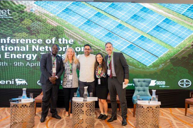
Justice in Transition: CGIAR Climate Security Launches Climate Justice Research at INAET 2025
15.04.25-
Climate adaptation & mitigation
From energy geopolitics to climate equity, this year’s International Network on African Energy Tra…
Read more -
-

ASEAN-CGIAR Program charts future course, emphasizing scalability and sustainability
15.04.25-
Adaptation
-
Climate adaptation & mitigation
-
Environmental health & biodiversity
-
Food security
-
Mitigation
-
Nutrition
-
Nutrition, health & food security
Bangkok, Thailand - The ASEAN-CGIAR Innovate for Food and Nutrition Security Regional Program recent…
Read more -
-
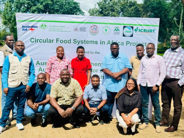
Building Capacity in Crop Modeling to Advance Circular Food Systems in Southern Africa
10.04.25-
Big data
-
Climate adaptation & mitigation
Training Equips Researchers to Support Smallholder Farmers with Climate-Smart, Sustainable Agricultu…
Read more -