-
From
CGIAR Initiative on NEXUS Gains
-
Published on
18.12.23
- Impact Area

Case study of surface water storage assessment in Bundelkhand, India
The Ganga (Ganges) River flows through the high mountain areas of the Himalayas. This major Asian river supports many millions of people and serves multiple purposes, including the provision of drinking water, agriculture, hydropower generation, navigation, and ecosystem support.
The Ganga River Basin is prone to frequent floods and droughts; in 2023, for example, a large area of the basin experienced substantially reduced rainfall in August and September, which will impact agricultural production and harvests in the kharif (June–October) and rabi (October–April) seasons.
Satellite-based precipitation data indicate a significant shortfall in rainfall during the critical monsoon months in 2023. A recent census of waterbodies at the national level revealed a 2.6 cm/year decline in groundwater storage, emphasizing the severity of the situation.
In response, the CGIAR Initiative on NEXUS Gains has devised an integrated water storage framework using advanced satellite technology with the assistance of Google Earth Engine to assess water storage for the Ramganga River Basin and the region of Bundelkhand within the Ganga River Basin in Northern India. The project team visited Bundelkhand to assess the water storage condition of the small water bodies (1-5 hectares) in Chhatarpur and Panna districts, Madhya Pradesh. The researchers established the first digital inventory of 6,500 water bodies and illustrated the significance of their intra-annual variability in land use management during the lean months.
Understanding and appraising these smaller water bodies is crucial for comprehensive water resource management, including efficient irrigation methods, innovative farming techniques, fisheries and livestock sectors, and the full spectrum of crop production and livelihood resilience. The findings highlight the need for sustainable water resource practices in light of changing climatic patterns.
You can explore the outcomes of this study with an interactive StoryMap, featuring photographs, infographics, and interactive maps of the region’s small water bodies.
This work was carried out under the CGIAR Initiative on NEXUS Gains, which is grateful for the support of CGIAR Trust Fund contributors: www.cgiar.org/funders
Header image: Bundelkhand, India. Photo by Nitin Sharma/IWMI Delhi.
Related news
-
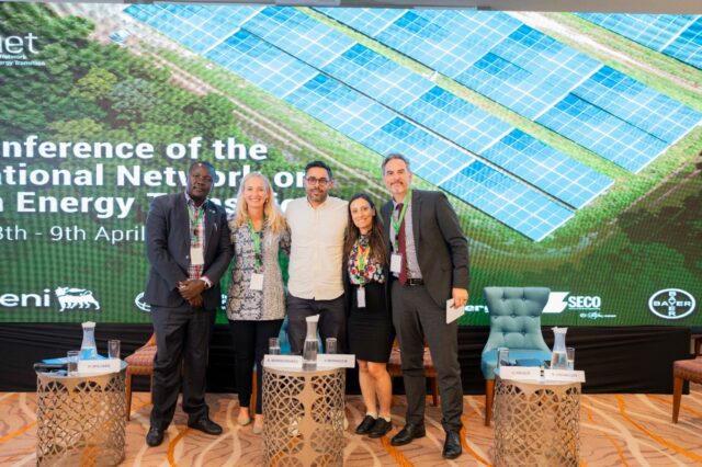
Justice in Transition: CGIAR Climate Security Launches Climate Justice Research at INAET 2025
15.04.25-
Climate adaptation & mitigation
From energy geopolitics to climate equity, this year’s International Network on African Energy Tra…
Read more -
-

ASEAN-CGIAR Program charts future course, emphasizing scalability and sustainability
15.04.25-
Adaptation
-
Climate adaptation & mitigation
-
Environmental health & biodiversity
-
Food security
-
Mitigation
-
Nutrition
-
Nutrition, health & food security
Bangkok, Thailand - The ASEAN-CGIAR Innovate for Food and Nutrition Security Regional Program recent…
Read more -
-
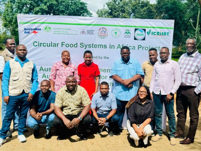
Building Capacity in Crop Modeling to Advance Circular Food Systems in Southern Africa
10.04.25-
Big data
-
Climate adaptation & mitigation
Training Equips Researchers to Support Smallholder Farmers with Climate-Smart, Sustainable Agricultu…
Read more -